
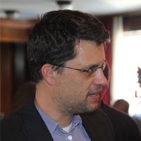
Christos Myriounis
Co-founder – CEO
Yannis Tsirogiannis
Co-founder
Nikos Malamos
Co-founder

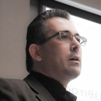
Antonis Christofides
Co-founder – Head of Development
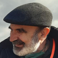
Demetris Koutsoyiannis
Chief Science Consultant

Angelika Nomikou
Communications Manager
Christos Myriounis
Co-founder – CEO
Yannis Tsirogiannis
Co-founder
Nikos Malamos
Co-founder
Antonis Christofides
Co-founder – Head of Development
Demetris Koutsoyiannis
Chief Science Consultant
Angelika Nomikou
Communications Manager